The field guide · Orienteering
Choosing your first orienteering course: colour, terrain and format
By James Thompson · Updated 30 October 2026
Some links in my articles are affiliate links. I may earn a commission when you buy through them.
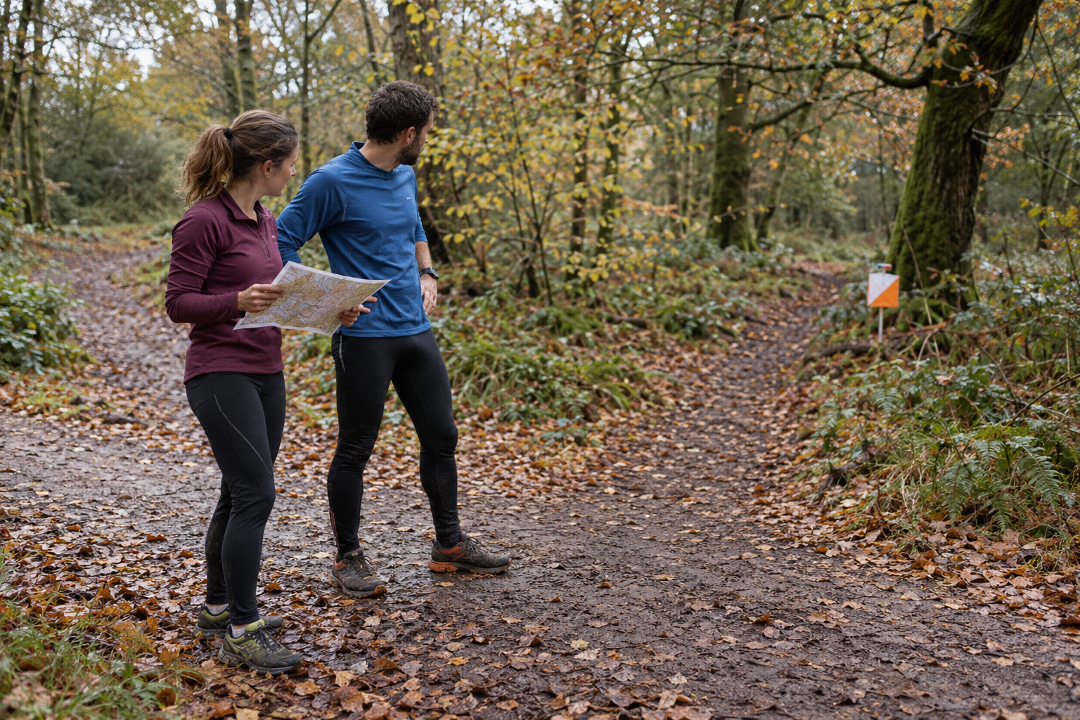
For a first orienteering outing, choose the navigation you can manage before choosing how far you want to run. A daytime beginner course with help at registration is a sensible starting point if you have never used an orienteering map. A short technical course can be much more demanding than its distance suggests.
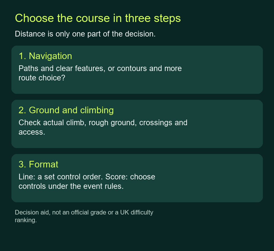
Look at three things separately: the course’s navigation grade, the ground and climbing, and whether you must visit controls in order or choose your own selection. The examples below use current British Orienteering and club guidance checked on 30 October 2026; the named events have their own entry arrangements.
Table of Contents
ToggleChoose the navigation grade before the distance
On a line course, you visit the checkpoints, called controls, in the order printed on the map. You choose your route between them. Most woodland line courses use colours to indicate the expected challenge.
Bristol Orienteering Klub’s course guide makes the progression clearer than a distance list:
| Course | Navigation described by Bristol | What that means for a first attempt |
|---|---|---|
| White | Controls on paths; the easiest course. | A gentle introduction to matching the map to the ground. |
| Yellow | Uses linear features such as paths and streams. | A useful option when you want simple features to follow. |
| Orange | More compass use and route choice. | Consider it if you already have relevant navigation skills; ask about this particular area. |
| Light Green | Contours and more route choices. | An improver course, rather than an automatic step up for a fit runner. |
| Green, Blue and Brown | Very challenging navigation, with different lengths. | Shorter Green still asks for experienced navigation. |
British Orienteering groups White, Yellow and Orange as newcomer courses and gives a broad length of up to 2.5km. Bristol lists typical Orange courses at 2.5–3.5km and describes a bigger technical step. Use the organiser’s actual course details rather than treating either introduction as a fixed distance promise.
If all your experience is following marked running routes, tell registration that. A quick road 5km does not tell them whether you can recognise a contour feature or recover after a wrong turn. Ask which course lets you practise those skills at an appropriate level.
Read the ground, climb and distance together
Bristol and Derwent Valley Orienteers’ course guidance explain that the listed length of these line courses is measured between controls in straight lines. Your chosen route may cover appreciably more ground. Do not expect a listed 3km course to finish when your watch reaches 3km.
Check the published climb, the terrain description and how much travel is away from paths. A park with a clear path network, intricate woodland and open hillside create different navigation problems even when their listed distances match. Ask about steep slopes, rough ground and any compulsory crossings that affect the course you want.
Keep remoteness and access separate too. Look for the actual start and finish, how far they are from registration, course closing time, out-of-bounds areas and the procedure if you stop. A colour alone cannot answer those questions.
Compare three current events without ranking them
These Derbyshire examples show why the small print matters. They are specific November 2026 listings, not a national easiest-event list or a promise about another edition.
| Exact example | What the organiser publishes | Decision it helps you make |
|---|---|---|
| Holmebrook Valley Park · 14 November 2026 | Beginner-friendly local event; hilly parkland. Short stays in the park; Medium and Long also visit urban areas. | Ask about Short if you want a first attempt with help available. |
| Grin Low · 7 November 2026 | Club championship in intricate terrain. Short: 1.5km / 70m climb; Medium: 2.4km / 125m; Long: 3.9km / 175m. | A short distance does not establish simple navigation or open newcomer entry. |
| Spondon · 9 November 2026 | Night MapRun in DVO’s one-hour score series, using phone GPS to register controls. | You choose controls, but must also manage darkness, phone operation and the return time. |
Holmebrook’s event page specifically welcomes adult and child beginners, offers map-reading help and a loan timing chip. It lists on-the-day entry subject to maps remaining, starts from 13:00 to 14:30 and course closure at 15:30. Arriving near the last start leaves less time before closure. Dogs are not permitted on its courses.
Grin Low’s championship page describes an intricate area and individually handicapped starts. Its entry information is directed to DVO members. Treat it as evidence that “Short” can still involve climb and technical ground; ask the club about eligibility and suitability rather than assuming it is a beginner taster.
Spondon’s listing specifies a night event, with registration at 18:45 and a 19:00 start. For someone learning map symbols from scratch, I would choose a supported daytime outing first. You can learn the map and recording procedure before adding the visibility limits of a night event.
Choose between a line course and a score course
A line course gives you a defined sequence to solve. That can suit a first outing because you can focus on the next leg without deciding how many controls to leave out. You still need to choose a permitted route between them and finish before the course closes.
A score course gives you a selection of controls and a scoring system. Often you have a fixed time in which to collect points, with deductions for returning late. You can choose a modest loop, but you must understand the control values, any ordering restrictions and the way back. “Score” does not establish the navigation difficulty.
The DVO Winter MapRuns 2026 instructions allow individuals, pairs or groups to walk or run, and use a one-hour score format. They also flag special scoring for particular rounds. Check the exact map, not just the series label. The score-event route-planning guide works through the detour and return-time decisions.
Know how your visit will work
Check whether entry is in advance or on the day, whether a group can use one entry, and which equipment the organiser lends. British Orienteering’s newcomer guide describes borrowing or hiring a timing device and compass. Holmebrook specifically confirms a loan timing chip; do not assume every event supplies everything.
For a conventional timed course, check each control’s identifying code before recording your visit. After finishing, download your timing device as instructed. British Orienteering says to download even if you have not completed the course, so the organiser can account for you.
MapRun works differently: DVO’s series uses GPS confirmation rather than physical control markers, and its app instructions include confirming your finish. The series also uses a mass start. That is a useful exception to the individual-start description in the general newcomer guide.
Read the event’s clothing and kit instructions. British Orienteering’s newcomer guidance requires full leg cover for woodland or forest events; urban arrangements can differ. If you are also considering fell racing, read the separate FRA navigation and GPS rules before transferring a phone-based routine to that sport.
Ask a question the organiser can answer
Instead of asking only “Is it suitable for beginners?”, give a short account of your navigation experience and the outing you want: “I run trails, but have only followed marked routes. I would like a daylight course using paths, with help before I start. Which course would you suggest, and when must I be back?”
Then check the latest event update for entry, access, start location and any changes. Bring the final course instructions with you.