Some links in my articles are affiliate links. I may earn a commission when you buy through them.
If you are tempted to add Hilbre Island to a West Kirby run, plan the crossing as a separate visit. Start with the local route, tide guidance and daylight, then decide whether it fits your day. Running faster is not a reason to shorten a tide margin or take a more direct line across the sands.
The current advice is written for crossing on foot, with caution on the rocks. This guide applies it to the decision a runner faces; it does not provide a verified running course or a safe crossing window for today. Sources were checked on 1 November 2026.
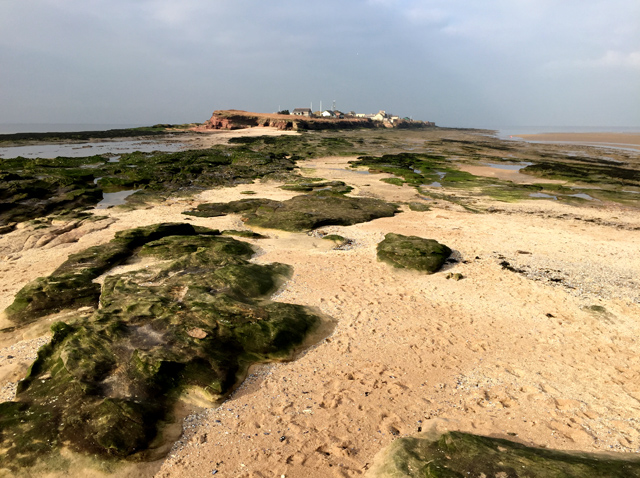
Featured photograph: Hilbre Island by John Allan, 8 February 2017, CC BY-SA 2.0. Resized for display; this historic view does not establish today’s access or conditions.
Wirral Council identifies Dee Lane, West Kirby as the only recommended safe crossing point from the mainland. The Friends of Hilbre describe the route from the marine-lake slipway towards Little Eye, then on to the main islands. Check the route on the Dee Lane noticeboard before leaving.
The Friends’ visitor guidance specifically warns against crossing from Hoylake because a deep muddy channel blocks that approach. A shorter line on a map is not a route recommendation. Nor should a runner’s recorded track replace the signed local instructions.
Decide whether you are happy to walk the crossing and slow right down on awkward ground. If your aim is an uninterrupted steady run, keep that session on the mainland and visit Hilbre another time.
Read the return wording before using a tide time
The RNLI’s West Kirby and Hilbre page advises setting out three hours after high tide and returning at least three and a half hours before high tide. The Friends’ page says to leave the island at least three hours before the next high tide. Those instructions use different margins and describe different points in the journey.
Do not combine the later departure wording with the RNLI margin and call the result a safe window. For a cautious plan, have the whole return completed by the RNLI’s earlier return limit, allowing the crossing time before that. Check the current noticeboard and local advice; if you cannot reconcile the instructions or conditions, stay on the mainland.
Use the tide prediction for the correct place and date, and check whether its clock times are in GMT or local summer time. Copying a high-water time from an old screenshot leaves both the date and clock convention uncertain. Low tide on its own also leaves out the next high water that governs your return.
Work backwards from being back on the mainland
Write down the full outing before deciding how long to spend on the island. You need an outward crossing allowance, time to look around and a return allowance that includes slowing to a walk. Add time for hesitation at the route, photographs and a change in footing, rather than using your usual road pace.
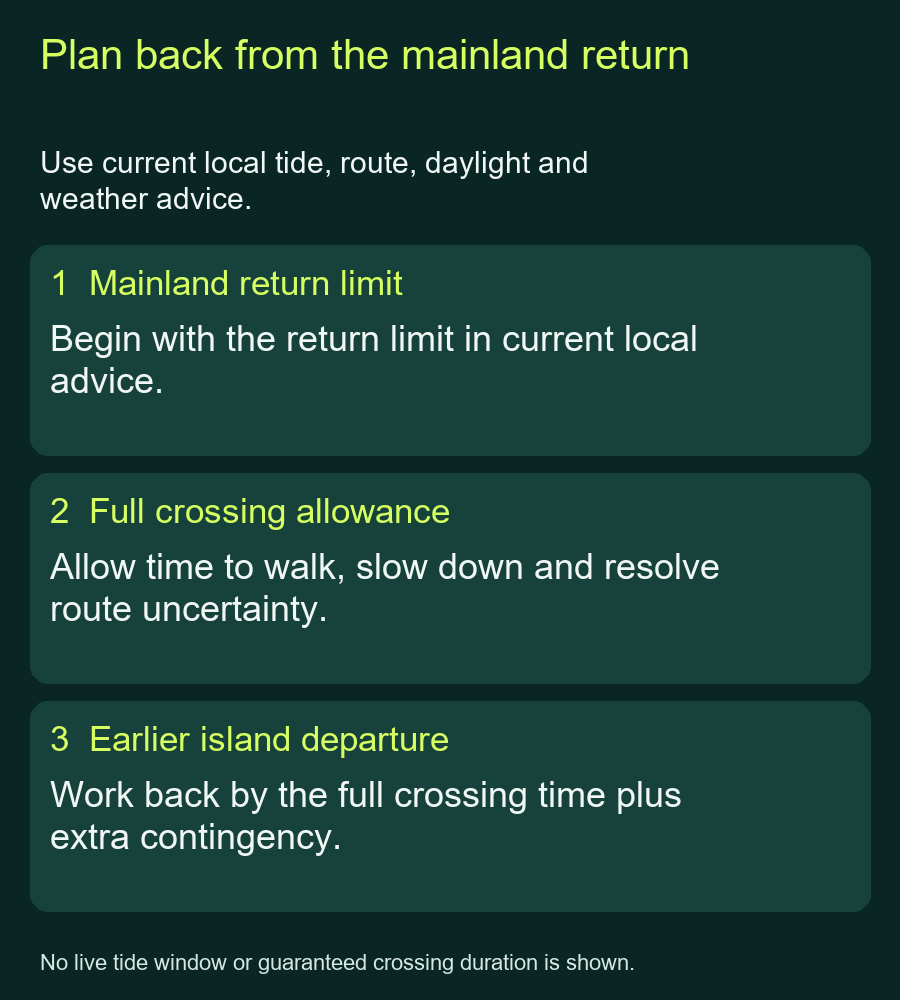
Backward planning only: no live tide times or guaranteed crossing durations are shown.
For example, if you have allowed an hour for the return, your planned island departure must be at least an hour before your mainland return deadline, with additional contingency. That is arithmetic, not a claim that an hour will be enough in today’s conditions. If the resulting plan leaves little time to visit, choose another day rather than spending the reserve on a longer island stop.
The council gives approximately 45 minutes to an hour for walking the recommended route there. That is a visitor estimate, not a measured running split or a promise for the way back. Do not halve it because you usually run twice as fast as you walk.
Let daylight and the ground decide whether to go
The RNLI advises against setting out in darkness or fog and highlights slippery rocks and unstable cliffs. A tide window that falls after dark does not become suitable because you own a headtorch. Choose a mainland run instead.
Keep your footing and routefinding ahead of your pace. On wet rocks, stop or walk where needed, and keep clear of cliff edges. Reaching an island is not the point to discover that you have used the comfortable part of the return allowance.
The RNLI’s general tide advice also asks visitors to watch the actual tide and surroundings while out. A timetable is a planning input; continue checking what is happening around your route. Never press into rising water to recover an earlier plan.
Carry enough for a visit without a café stop
The Friends say there is no fresh drinking water or shop on the islands. Bring your drinks, food and warm waterproof clothing for the whole visit, including time when you will be standing rather than running.
Shelter descriptions differ: the council lists a small wet-weather shelter, while the RNLI page says there is no shelter. Plan to be self-sufficient in the forecast weather and do not make a visit depend on finding a dry indoor refuge. Opening and condition of facilities have not been confirmed here.
Tell someone your route and expected return, and carry a means of calling for help. In a coastal emergency, call 999 or 112 and ask for the Coastguard. Mobile reception is not guaranteed by the council’s visitor page.
Give wildlife space and keep a mainland alternative
The reserve supports feeding and roosting birds as well as seals. The Friends ask visitors to keep to paths or rocks, avoid disturbing winter roosts and take litter away. If you bring a dog, the council requires a short lead throughout the reserve. Treat watching wildlife as a reason to slow down and keep your distance, not a reason to leave the route.
If the tide, weather or daylight does not fit, keep the island visit for another day. Choose a mainland route with access you have checked, rather than trying to rescue the crossing plan with a faster pace. The running guides directory includes inland scenic alternatives if you would prefer to take tides out of the outing.