The field guide · Coastal running
Wirral Way or North Wirral coast for a run? Choose the ground and return
By James Thompson · Updated 1 November 2026
Some links in my articles are affiliate links. I may earn a commission when you buy through them.
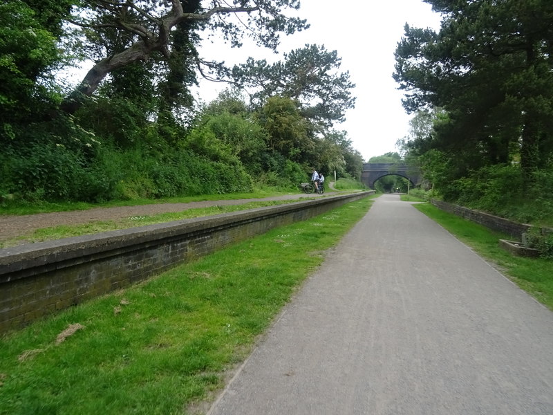
Choose the Wirral Way when you want to follow an inland former railway corridor. Look at North Wirral Coastal Park when an open coastline is the attraction. A run across tidal sand is a separate choice: it needs its own access and return plan, even if it looks like a short addition to a promenade outing.
The useful comparison is between the part you will run and the conditions it exposes you to. These are route-planning suggestions based on council descriptions and coastal guidance checked on 1 November 2026, rather than measured courses or accounts of a visit.
Featured photograph: The Wirral Way at the former Thurstaston Station by JThomas, 25 May 2019, CC BY-SA 2.0. Resized for display; this historic view does not establish today’s access or conditions.

Table of Contents
ToggleCompare three different outings
| Option | What the published description establishes | Choose it when… |
|---|---|---|
| Wirral Way | A former railway route between Hooton and West Kirby, described by the councils as about 12 miles/19km. | You want to pick a section of a recognisable inland corridor. |
| North Wirral Coastal Park | A coastal park from Dove Point, Meols, to Kings Parade, New Brighton; Wirral Council lists jogging among its activities. | You want coastal scenery and can adapt the outing to the weather. |
| Tidal foreshore or an island crossing | An outing on ground whose access changes with the tide; Hilbre has specific local crossing guidance. | You have checked that exact crossing, both directions and the time available. |
Sources: Cheshire West’s Wirral Way description, North Wirral Coastal Park and Hilbre visitor guidance. The park’s advertised four-mile extent is not a measured running loop. Nor does the whole Wirral Way length tell you the distance from your station or car park to a chosen turnaround.
Wirral Way: choose the stretch, not the whole line
Cheshire West describes the old Hooton–West Kirby railway route and the changing scenery around Willaston, Neston and Parkgate. The inland corridor gives you a different outing from running along the sea’s edge: you can enjoy part of the peninsula without making the beach your route.
For a first visit, locate your joining point and one recognisable turnaround on the current map. Check any road crossings and paths between your transport and the trail. A railway-trail label is not evidence that the approach is step-free, the entire surface is identical or every junction can be run through without stopping.
Wirral Council describes a combined walking and cycling route with a separate horse-riding route. Keep to the appropriate signed path, leave room at narrow points and slow down before passing. At a busy former station or access point, ease the run until you have space again.
The featured photograph shows one section at Thurstaston in 2019. Use it to understand that setting, not to infer the surface or condition of all 12 miles today.
North Wirral coast: plan for the exposed part
The council’s park page places North Wirral Coastal Park between Meols and New Brighton. Choose an access point near the section you actually want to see, then check the promenade, park paths and any connections you intend to use. The name of the park does not identify one continuous, uniformly surfaced running course.
On an out-and-back beside the sea, notice the wind direction before settling into a pace. An easy outward leg with the wind behind you can leave a less comfortable return. Use effort and the conditions underfoot to choose your turnaround; avoid committing your entire time allowance to an outward distance.
The RNLI’s coastal walking and running advice asks visitors to check weather and tides and take care around waterside edges, particularly in dark or slippery conditions. If waves, spray or a closure make the intended stretch unsuitable, choose another route. Dropping onto the beach to get around the obstruction creates a different access problem.
Keep the foreshore out of an improvised shortcut
The RNLI’s tide guidance explains why yesterday’s beach conditions at the same clock time do not establish today’s access. Water can close a return around rocks or into a cove; moving a little higher up the beach may not provide an escape.
Before adding sand to a coastal run, identify where you will leave it as well as where you will join it. Check that the exit remains usable during the whole outing. An attractive line on a fitness app may record somebody else’s trip in different conditions.
Hilbre is a particularly clear example. Wirral Council recommends the crossing from Dee Lane, West Kirby, and points visitors to local guidance. Do not treat a straight line from the nearest-looking shore as an alternative. The Hilbre crossing planning guide separates the route and tide checks from the distance you might normally run.
Compare effort, footing and routefinding separately
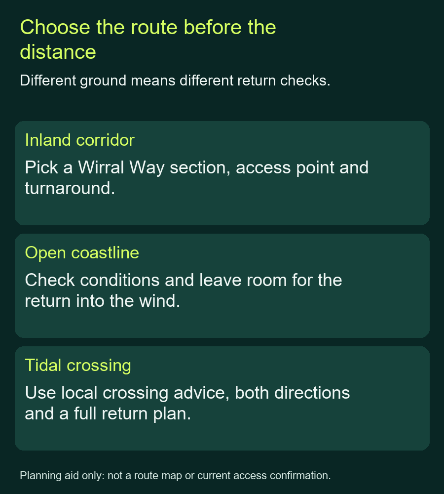
For the Wirral Way, assess your chosen distance and access paths. For the north coast, add exposure and the return into the wind. On the foreshore, add wet sand, rocks and tide-controlled exits. None of those descriptions supports a single difficulty score for the whole peninsula.
Mark any point where you would leave your chosen corridor or coastal path. A beach loop, a path down to the shore or a link to a station needs its own ground and return check. If you mainly want steady running, choose a route you can follow comfortably without those additions.
Match the finish to transport and facilities
Cheshire West lists railway stations at Hooton and West Kirby, but that does not make every chosen trail access a station entrance. Map the connection at each end and check the current service before choosing a one-way run. For an unfamiliar first outing, returning to the same known access point keeps that part simpler.
Check facilities separately from the path. The Thurstaston visitor page publishes seasonal opening hours for the centre, café and toilets; a later run may finish after they close. Cheshire West also warns that its listed car parks are locked at night. Confirm the arrangements at your actual parking place rather than assuming one timetable covers the whole trail.
Recheck the relevant council page and signs at your start for access changes. These permanent park descriptions do not provide a route-wide all-clear. If you prefer an inland railway outing elsewhere, the Monsal, Tissington and High Peak comparison helps you choose a section for scenery, approaches and inclines.