Some links in my articles are affiliate links. I may earn a commission when you buy through them.
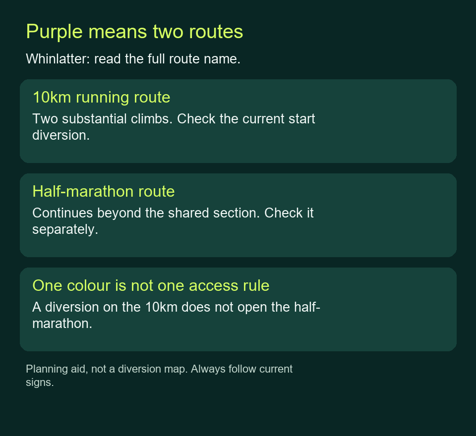
At Whinlatter, choose the named running route and read the current forestry update before following its colour. The 10km and half-marathon both use purple waymarks, while the two 5km routes have different climbs and access restrictions.
At our 31 October 2026 check, Forestry England’s latest notice was dated 26 October: brown 2.5km/4km and turquoise 5km were listed open, pink 5km and the half-marathon closed, and the 10km diverted at the start. Use the live notice and signs when you visit; this article cannot provide a real-time opening guarantee.
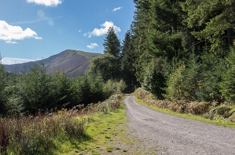
Featured photograph: Whinlatter Forest by Ian Capper, 28 September 2018, CC BY-SA 2.0. Resized for display; this is a forest view, not a photograph of the current diversion.
The official running-route directory links each route to a separate description. Keep the distance with the colour when you save a map or ask for directions:
Waymarks and route
What changes the running
Check before choosing
Brown · 2.5km with extension to 4km
The shorter route follows undulating ground around Revelin Moss; the extension adds climbing.
Whether you want the extension, and where it leaves and rejoins the route.
Turquoise · 5km
South-side hills are described as shorter and less steep than the pink route’s.
Its start and current access, rather than assuming all 5km options are interchangeable.
Pink · 5km
A climb towards Bob’s Seat, an extra top loop and a long descent.
Current closure status before making this your plan.
Purple · 10km
A circular outing with two substantial climbs.
The signed start diversion and the full route beyond it.
Purple · half-marathon
Shares the first part with the 10km, then continues farther into the forest and onto open moorland.
Separate half-marathon access; purple 10km availability does not open this route.
These are the operator’s route profiles, not a recommendation to use a closed route. Follow the route-specific links in the directory and assess the ground against your own running and navigation experience.
Read the operations notice separately from the map
The Whinlatter updates page explains that forestry work is taking place in the north-east of the forest. Its 26 October notice lists the brown 2.5km/4km and turquoise 5km running routes as open. It lists pink 5km and the half-marathon as closed.
The same notice lists the 10km as diverted at the start, directing visitors from Cyclewise past the bungalow via Junction 14. Use the signs on arrival and confirm the arrangement with the visitor team if anything is unclear. The notice does not establish the diversion’s exact extra distance or climb, so do not build a tightly timed run around an invented allowance.
Download the official running map to understand the forest’s route network and numbered junctions, then check it against the current notice. The linked PDF carries a March 2023 production date. Its normal route lines are useful context, but they cannot describe every later work closure.
Use junction numbers to keep the return clear
Before starting, locate the route’s start and your parking or transport point on the map. Check whether getting from one to the other adds distance, and where the route returns. A forest car park is not automatically the trailhead shown on a running leaflet.
At a junction, check the route name or distance as well as the colour. Note the junction number when signs or the current update refer to one. If the expected running marker is absent, pause and relate the map to the junction instead of following an unrelated cycling or walking sign because it points downhill.
Keep an accessible copy of the map and the current instructions. Phone signal, battery and the ability to read a small screen are separate practical questions from whether you downloaded a file. Sort out how you will use it before leaving the start.
Planning aid, not a diversion map. Follow current operator instructions and on-site signs.
Leave enough effort for the second climb
The 10km description starts with climbing towards Seat How, then describes a descent and a second substantial climb through the south-side conifers. That sequence is more useful for pacing than treating 10km as one even block.
Start at an effort you can sustain while climbing again later. Walking a steep section can preserve the outing you planned; chasing a flat-road pace early leaves little room for navigation, photographs or a slower descent. Use experience on comparable ground when estimating time.
The turquoise 5km profile offers a different hill pattern, while the brown route and extension give a shorter choice. If your available time is limited or the conditions are beyond your experience, choose a suitable open route before setting off rather than planning to invent a shortcut midway.
Do not treat a printed shortcut as an escape through closures
The half-marathon description mentions a return shortcut at Tarbarrel Moss, around ten miles into its normal route. That is part of the published full-route description. It does not establish that you can reach it, or use the approach safely, while the half-marathon is closed.
Likewise, a diversion is a specific instructed route around a problem. A road or track that looks more direct may lead into the forestry work. Obey barriers and the signs for your intended activity, and ask the visitor team before starting if you cannot reconcile the map and the current notice.
If the route you wanted is closed, choose another suitable open option or change the outing. Do not use an old event GPX or a previous visit as evidence that the work area is accessible.
Keep the visit plan with the route plan
Check the forest’s visitor information for the current parking, gate and facility arrangements. Allow for the trip from the finish to your vehicle or other transport, changing out of wet kit and any time spent at the visitor centre. Facility opening and trail access can have different limits.
On arrival, read the signs again. If a notice has changed since you downloaded it, use the current instructions and choose a route that still fits your available time and experience.